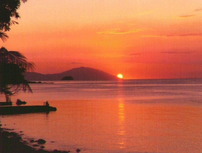
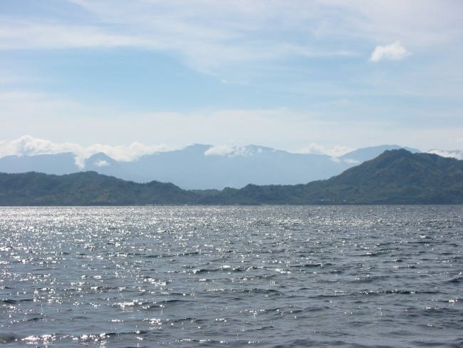
During the past ten years I have spent some 400 weekends at my beachhouse in Anilao, Batangas. And always, whether enjoying a sundowner in my garden, while sailing out towards Sombrero Island, trawling for yellowfin in Balayan Bay or treking to Mount Panay, Mindoro's Mount Kalawite has loomed on the horizon. On a specially clear day, Mount Halcon, Mindoro's tallest peak, could be seen to the south-west over Maricaban Island.
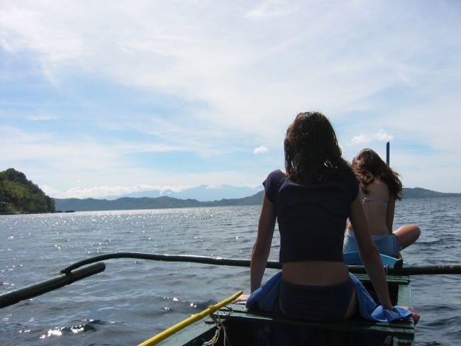
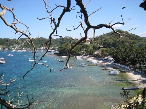
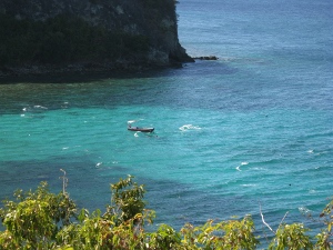
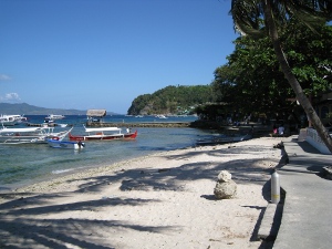
I have of course of visited Puerta Galera several times, once sailing over with my banka, and also a single time made it to Abra de Ilog. Beyond that nothing - Mindoro is exciting, its peaks are tall and inaccessible, and there are no roads outside the eastern and western coastal areas. The Mangyans live in the hinterland - still some following their age old semi-nomadic life-style. Regularly, there were rumours of Japanese Imperial Soldiers still alive in the inaccessible areas - the last known surrender was in Lubang Island just north of Mindoro in 1976. Quite a few trekkers have lost their lives trying to reach Mount Halcon. And, then again Puerto Galera, with all the facets of a tropical paradise.
Ever since I bought a bike, I wanted to ride around Mindoro Island. I never came to do it for a variety of reasons. In March 2006, my second assignment to the Philippines came to an end, capping a total of twenty years in the country. Last chance? I was short of time as always, and my plan was to use four days, which hopefully would allow some time off the bike. I started out from my beach house in Anilao, Batangas, just before six o'clock in the morning on March 7th 2006 Destination: Batangas City ferry terminal.
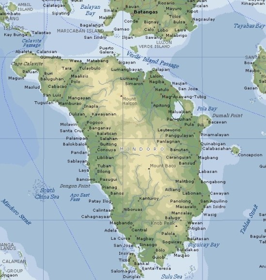
Mindoro is 7th largest island in the Philippine archipelago. The mountains along its north-south axis divide the island into a western and an eastern province (M. Occidental and M. Oriental). The island is less than 80 kilometers wide, and the distance from north to south is about twice of that. With the exception of a single challenging mud-road around the southern tip, there is not a single road which ties the two provinces together. Specifically, there is no road along the northern coastline (i.e. from Puerto Galera to Wawa (Abra de Ilog)). The reason for this communications gap is a chain of steep and tall mountains which runs from north to south. The highest peaks are in the northern part, with Mt. Halcon as the tallest (2586 meters). In fact, only the narrow western coastland, and the wider eastern coast are developed.